
Remote Accessibility
Remote sensing devices monitor the field over a period of time and take various measurements that act as inputs for decisions to be made during the cultivation process.
- In the initial stages this could translate to identifying the right weather conditions conducive for planting a particular crop.
- During the cultivation phase it could give the grower the ability to intervene and take action against pests or diseases before they spread to other areas and destroy the entire crop.
- The information presented to stakeholders in different parts of the agricultural value chain comes primarily from three external data sources: weather information, satellite information, and field information,
- The combined insights gathered from all these sources help the stakeholders in the agri ecosystem take more informed and well-timed decisions regarding their crop.
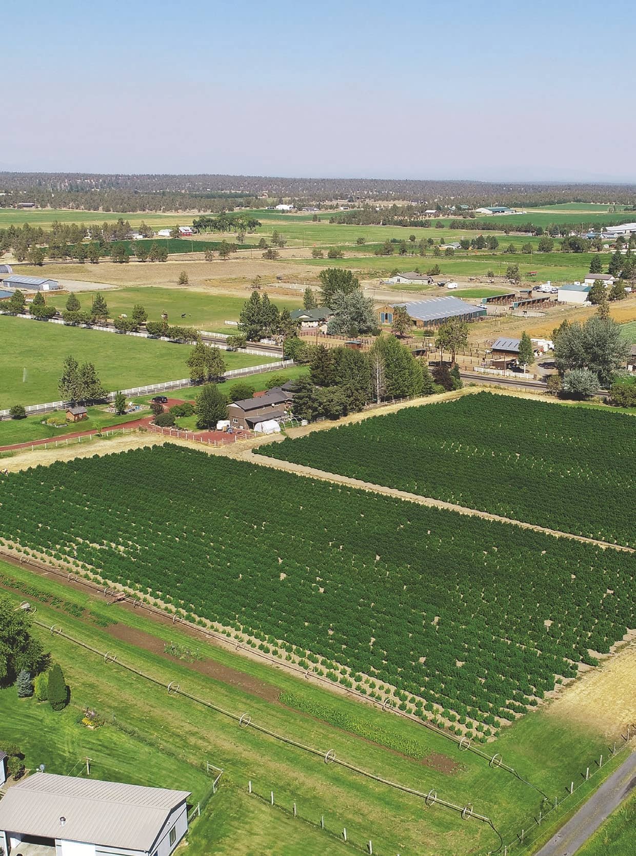
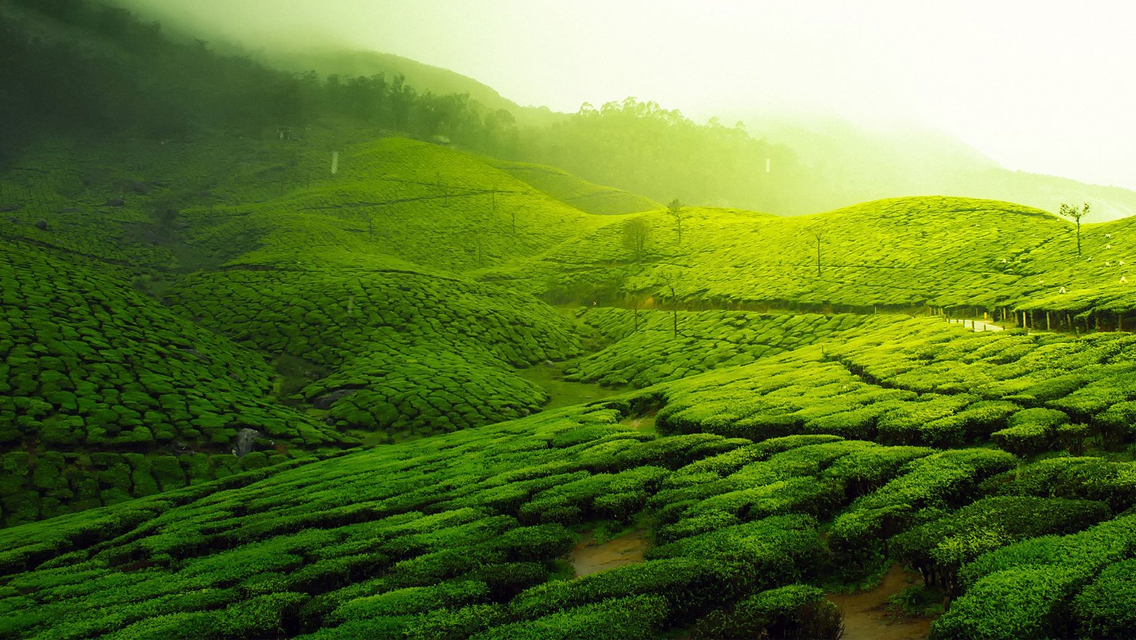
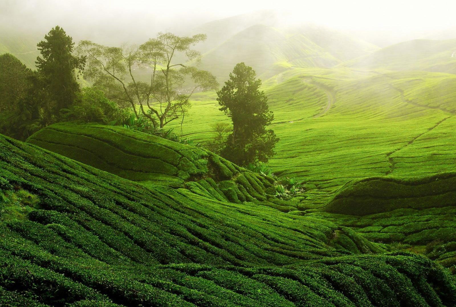
Aerial Imaging
Soil mapping and forecasting irrigation needs and Knowing what to plant and determining the right time to harvest
- With remote sensing, farmers have access to complete information about ideal soil and weather conditions well into the future
- The predictive nature of the technology helps in zeroing in on the perfect time to plant a particular crop under the given weather conditions
- It is also an important factor in estimating the soil moisture data in a given plot of land
- As a result of this, it also helps in adequately planning the irrigation needs well in advance.


